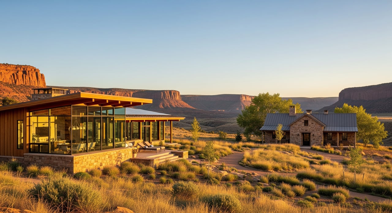
Dreaming about a few peaceful acres near Howard, but not sure how to vet a parcel? In rural Colorado, access, surveys, and water can make or break your plans. With the right questions and records, you can avoid costly surprises and move forward confidently. This guide gives you a practical checklist tailored to Howard in Fremont County, plus the exact documents to request and what to check on site. Let’s dive in.
Access: confirm legal and physical
Prove legal access before you tour
- Ask for recorded proof of access: public road frontage, a county‑maintained road, or a recorded private road easement.
- Confirm who maintains the road: county, a homeowners’ association, a private road agreement, or individual owners.
- Request copies of any road easements, road maintenance agreements, and private road covenants from the seller or title company.
Test physical and seasonal access
- Evaluate surface and slope: can a 2WD vehicle reach the likely build site, or will you need 4WD seasonally?
- Ask neighbors or Fremont County Road and Bridge about winter plowing, mud season, drifting snow, or spring runoff.
- If the parcel is near the Arkansas River or arroyo washes, check for seasonal washouts and review FEMA flood maps.
On‑tour access checklist
- Verify a usable driving route from the public road to the possible homesite.
- Note any gates, private road signs, or no‑trespassing postings along the route.
- Photograph mile markers, key intersections, and any worn bridges or culverts.
- Record distance to the nearest paved public road and consider emergency vehicle access time.
Access records to pull
- Recorded easements and any road agreements at the Fremont County Clerk and Recorder.
- County road classification and maintenance information with Fremont County Road and Bridge or Public Works.
- Fremont County GIS aerials and topo to spot gates, fences, and probable travel paths.
Surveys and title exceptions
Order the right survey
- Boundary survey: confirms corners, easements, and encroachments. Strongly recommended for acreage.
- ALTA/NSPS survey: typical for financed purchases or when you need a high‑standard, detail‑rich map.
- Topographic or site survey: useful if you plan to build and need contours and existing features.
Read the title commitment closely
- Confirm the legal description matches across deed, plat, and tax parcel records.
- Review all recorded easements, rights of way, covenants, and other items listed as exceptions.
- Watch for encroachments, overlapping claims, unvacated plats, and any mineral reservations or severed mineral rights.
- If you see an unknown survey exception, plan on ordering a new survey.
On‑site boundary clues
- Look for iron pins, rebar, or capped survey rods. Do not rely on flags alone.
- If pins are missing or you see fence line irregularities, expect to complete a boundary survey before closing.
Who to call
- Hire a licensed land surveyor with Fremont County experience, especially for metes and bounds descriptions.
- For complicated easements or exceptions, consult an experienced title company or a real estate attorney.
Easements and restrictions
What you may encounter in rural Fremont County
- Access easements for private roads and ingress or egress.
- Utility easements for power, gas, phone, or pipelines.
- Ditch and irrigation easements that cross parcels and affect water use or maintenance.
- Conservation easements or agricultural covenants that limit subdividing or non‑ag uses.
- Mineral rights, oil and gas leases, or pipeline rights that allow surface activity.
- Historic or recreational easements such as public trail or hunting access.
How to identify them
- Review the title commitment and recorded documents through the Fremont County Clerk and Recorder.
- Compare county plat references and deed calls using the Assessor’s office or GIS.
- Contact utility providers and search Colorado Oil and Gas Conservation Commission records for wells, pipelines, or leases.
Clarify responsibilities early
- Determine whether an easement is exclusive or non‑exclusive and what activities it allows.
- Confirm who maintains any private access easement or shared road and how costs are split.
- Identify any restrictions on fencing, livestock, commercial use, or future subdivision.
- Ask about any recorded notices of pending litigation or boundary disputes.
Practical action items
- Obtain a copy of any road maintenance agreement and estimate expected annual contributions.
- If a utility easement crosses your preferred building site, ask whether relocation is possible and at whose cost.
- Confirm HOA status and request CC&Rs if covenant enforcement applies.
Water rights and wells
Colorado water basics you need to know
- Water rights are separate property interests and prioritized by seniority under prior appropriation.
- Surface water like river or ditch rights and groundwater from wells are regulated by the state.
- Some wells operate under augmentation or replacement plans to protect senior rights.
What to verify for a Howard parcel
- Ask if deeded water rights or ditch shares convey. If so, request the decree or share certificate.
- Howard sits in the Arkansas River watershed. Confirm basin details and any relevant permitting with the Colorado Division of Water Resources.
- For an existing well, collect the permit number, well log, pump test results, static water level, and production rate.
- If no well exists, assess drilling feasibility, local groundwater conditions, well spacing, and permit requirements with the Division Engineer’s office.
- For surface water, identify the ditch company, confirm historic diversions, and whether shares are appurtenant to the land or transferable.
Records to gather and red flags
- Search Colorado DWR databases for water rights and well permits, and obtain well logs and driller records.
- Request any local augmentation plans or substitute supply plans affecting wells in the area.
- Red flags include severed water rights, old wells without permit documentation, very low yields, or parcels in curtailment zones.
Water professionals to engage
- Consult a water rights attorney for title, transfer, or use questions.
- Engage a hydrogeologist or experienced well driller for yield estimates and drilling feasibility.
- Speak with the Division Engineer for the Arkansas River basin about current permitting conditions.
Zoning, septic, hazards, utilities
Planning and permits
- Verify allowed uses, minimum lot sizes, setbacks, and density limits with Fremont County Planning and Zoning.
- Confirm building permit requirements that apply to your intended use.
Septic and wastewater
- Contact Fremont County Environmental Health about on‑site wastewater system rules and needed site evaluations.
- If you plan a residence, budget time for soils work or perc testing.
Floodplain, wetlands, and soils
- Review FEMA floodplain maps and any local floodplain ordinances.
- Use the USDA NRCS Web Soil Survey for soil types, erosion risk, and septic suitability.
- Consider a geotechnical report if building on slopes or alluvial soils.
Wildfire and emergency readiness
- Check wildfire hazard layers and local fire district response requirements, including defensible space or water storage.
- Consider year‑round emergency access and turnarounds for large vehicles.
Utilities and communications
- Confirm distance and estimated cost to extend electrical service.
- Evaluate propane or diesel options, and consider onsite solar.
- Test internet and cellular coverage at the property.
Minerals and taxes
- Review the deed chain for mineral reservations and check COGCC records for active leases or wells.
- Verify current property taxes and whether any special assessments or district fees apply.
Request packet to ask for
Documents to request from the seller or listing agent
- Current deed and full legal description.
- Title commitment and any prior title policies.
- Most recent survey and any monumentation notes or photos.
- Copies of recorded easements, road maintenance agreements, and CC&Rs.
- Water documents: well permit and log, pump tests, ditch share certificates, water right decrees, ditch company contact.
- Septic permits, soil site evaluations, and any previous perc tests.
- Any environmental reports or known contamination history.
- Recent property tax bill and available utility expense history.
Key questions to ask upfront
- Is there recorded legal access from a public road? Who maintains the access and at what cost?
- Are water rights included in the sale? What kind and how many shares or acre‑feet?
- Has the property had boundary disputes or survey challenges?
- Are there mineral reservations or oil and gas leases affecting the surface?
- Are there tenants, grazing leases, or easements that give others the right to enter the property?
First‑week plan: next steps
- Request the seller packet: deed, title commitment, surveys, water documents, easements, septic and soil reports.
- Verify legal access and maintenance obligations with Fremont County records.
- Search Colorado DWR for well permits and water right records, and contact the ditch company if shares are indicated.
- Order a boundary survey early. If financed or complex, add an ALTA survey.
- Confirm septic feasibility with Fremont County Environmental Health and permitted uses with Planning and Zoning.
- If red flags arise, bring in a surveyor, title professional or real estate attorney, and water specialists.
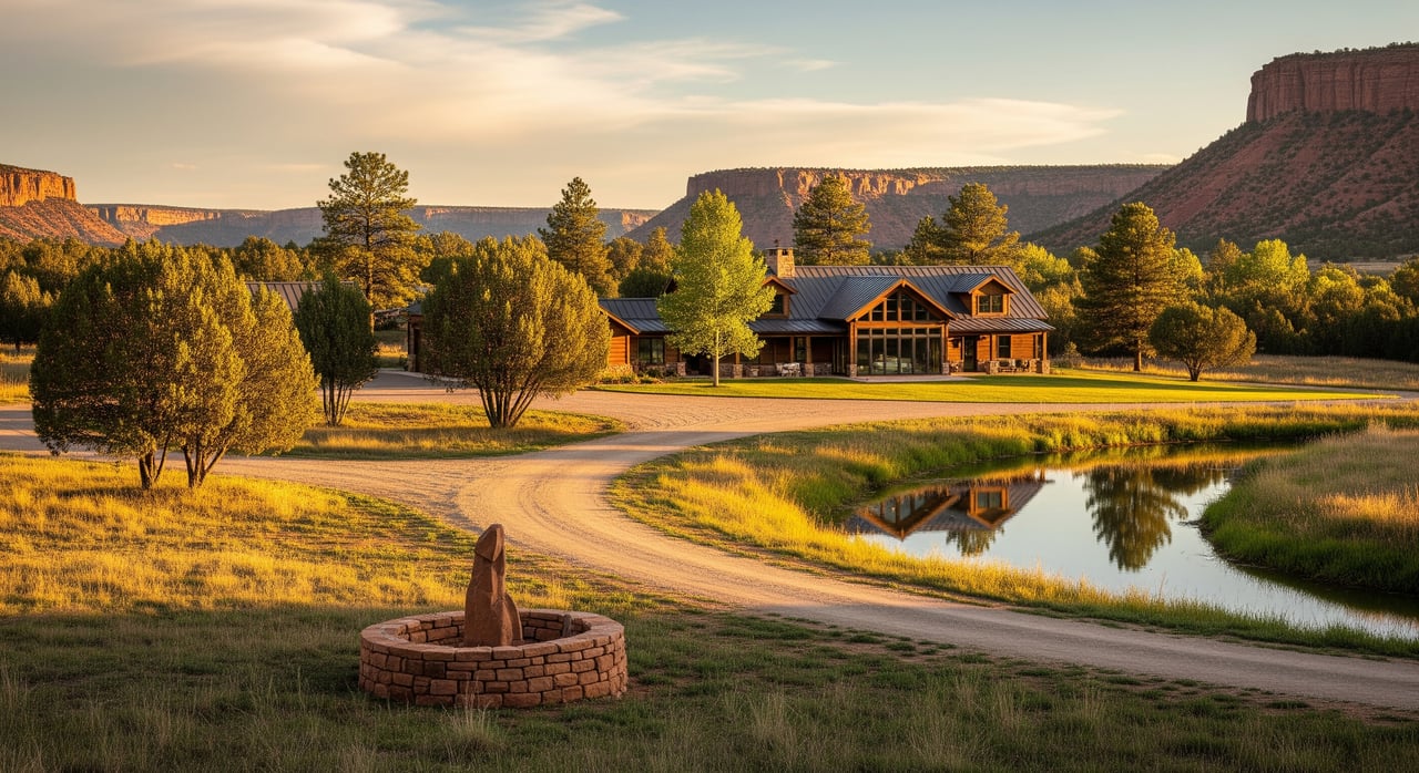
Buying acreage around Howard rewards preparation. When you combine recorded proof of access, a current survey, and clear water status, you protect your plans and your budget. If you want hands‑on help assembling the right records, coordinating professionals, and managing deadlines, connect with Laura Ostrom for local, detail‑driven representation.
FAQs
How do I confirm legal access for a Howard, CO parcel?
- Ask for recorded road easements or public road frontage, then verify with the Fremont County Clerk and Recorder and county road maintenance maps.
Which survey is best when buying acreage in Fremont County?
- A boundary survey is the baseline; add an ALTA or NSPS survey if you’re financing or need greater detail, and a topo survey if you plan to build.
What water documents should I request before offering on Howard land?
- Request any well permit and log, pump test results, water right decrees, and ditch share certificates, then verify through Colorado DWR and the ditch company.
What easements commonly affect rural parcels near Howard?
- Access, utility, and ditch easements are common, along with possible conservation or agricultural covenants and mineral or pipeline rights.
Who maintains private roads serving acreage outside Howard?
- Maintenance can fall to the county, an HOA, a private road agreement, or individual owners, so confirm the recorded agreement and estimated costs.
What are early red flags when vetting water for a Howard property?
- Severed water rights, old unpermitted wells, very low yields, or parcels subject to curtailment or strict augmentation plans warrant deeper review.